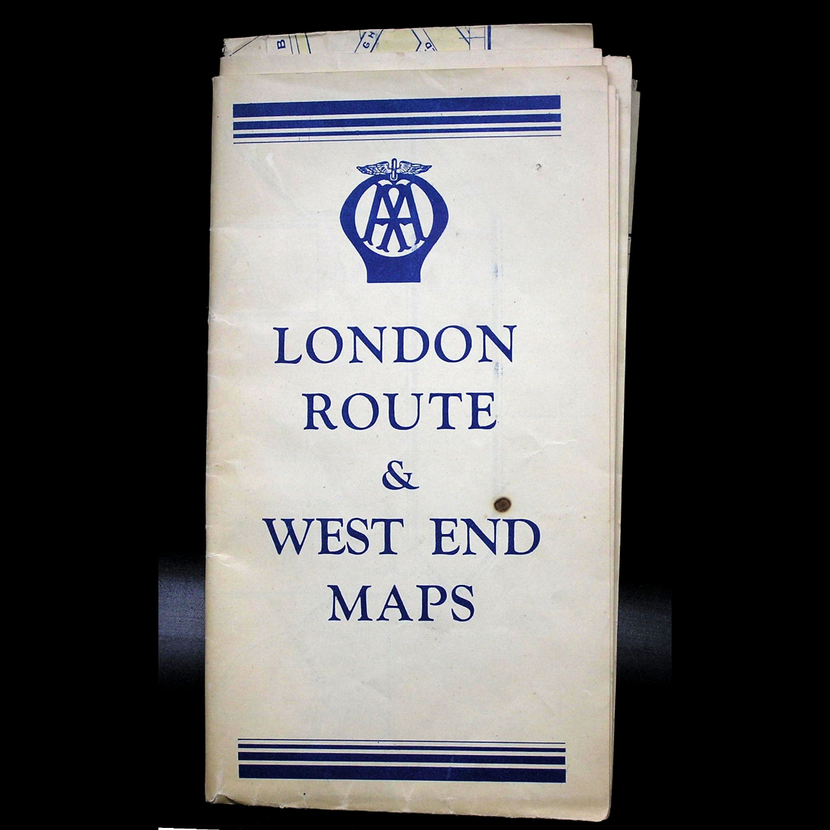
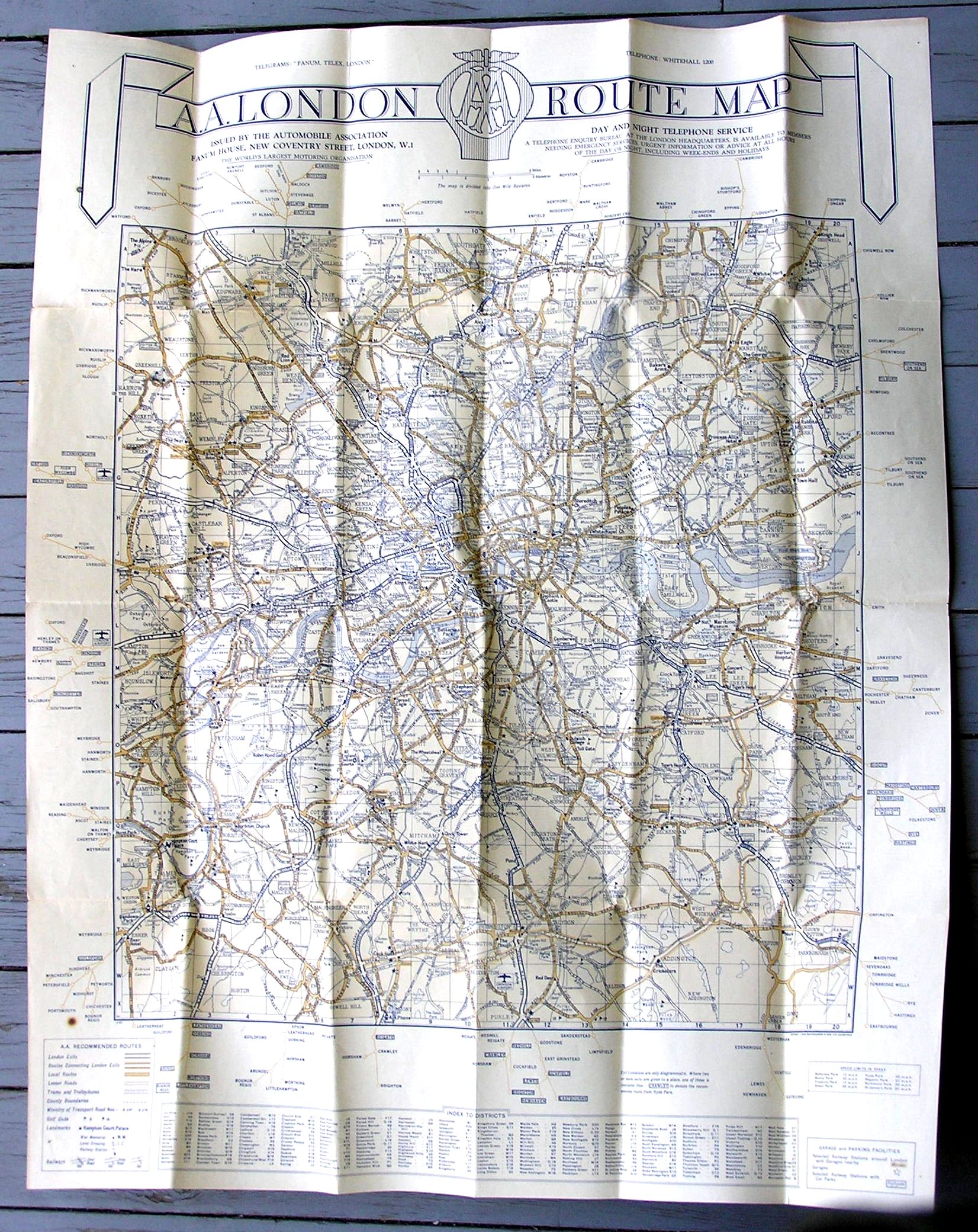
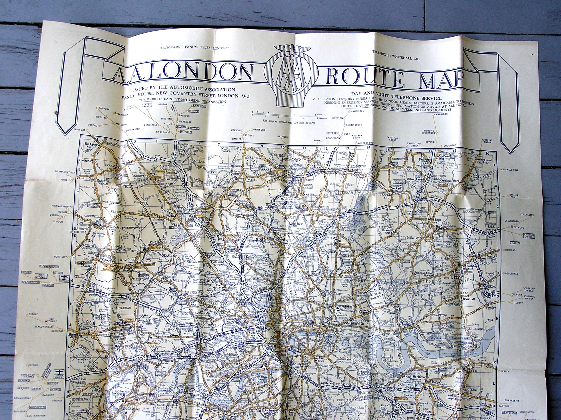
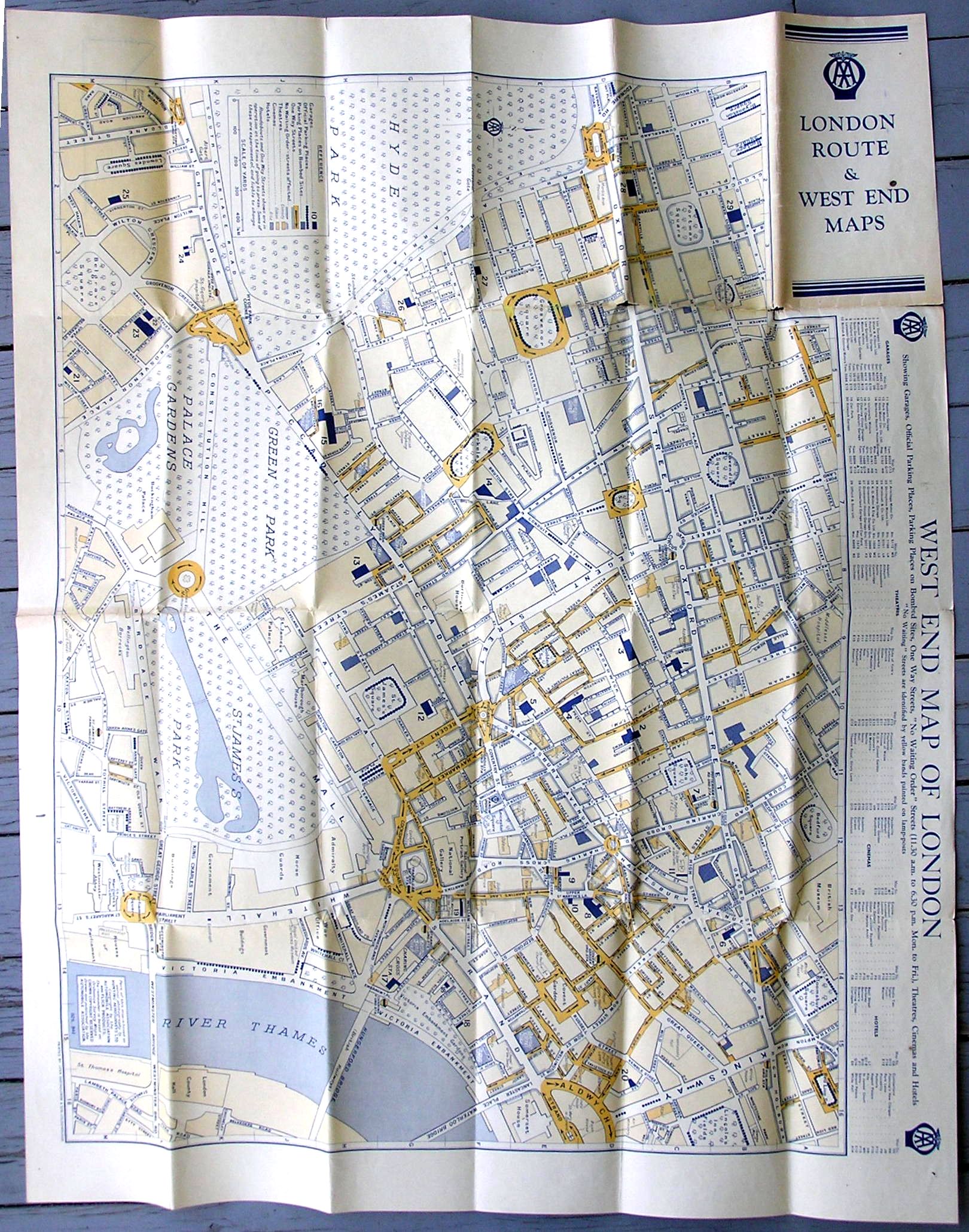
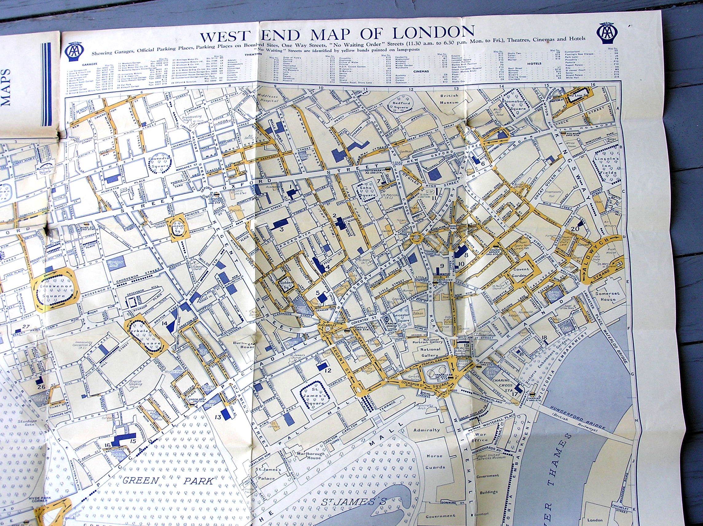
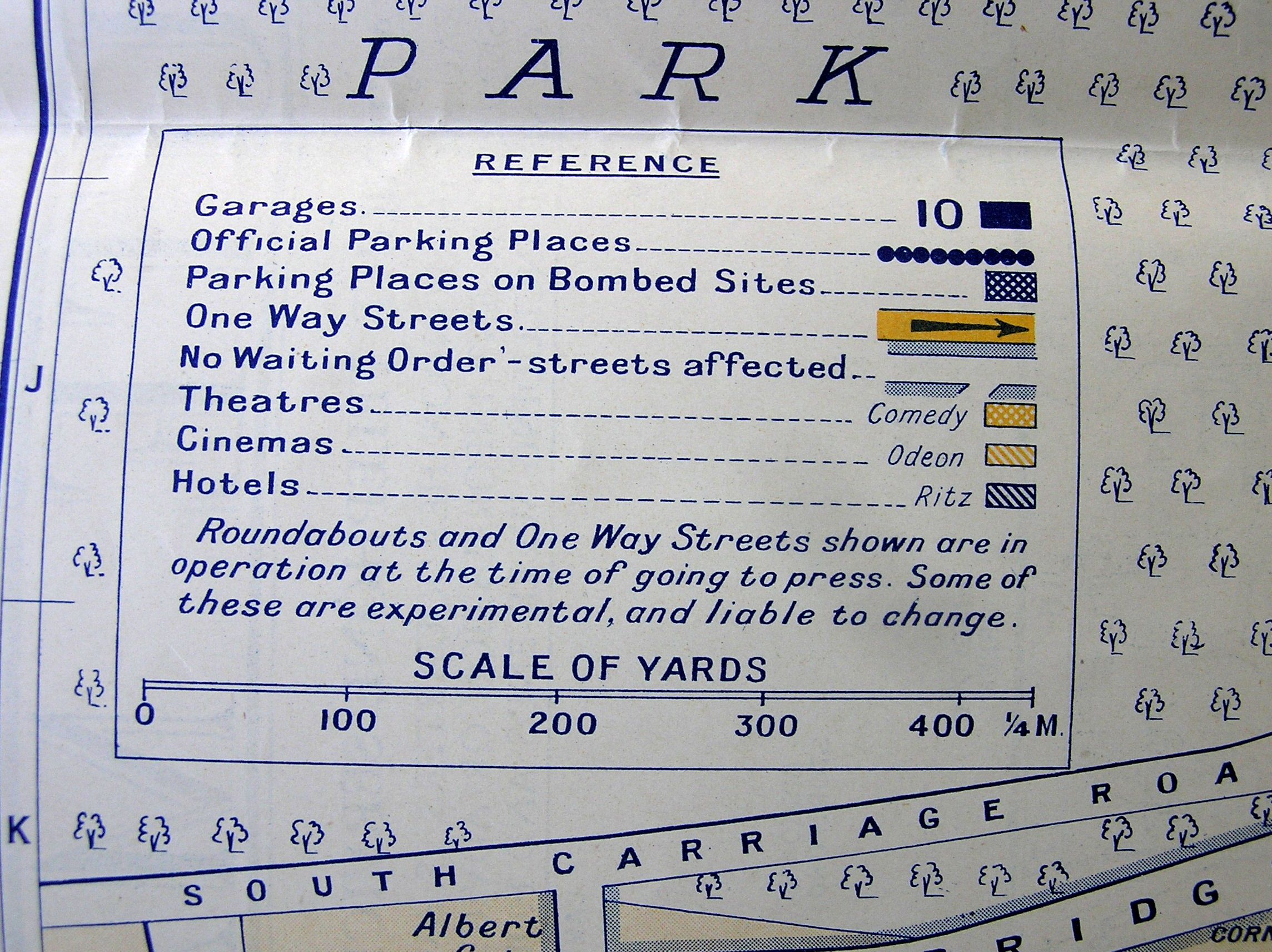
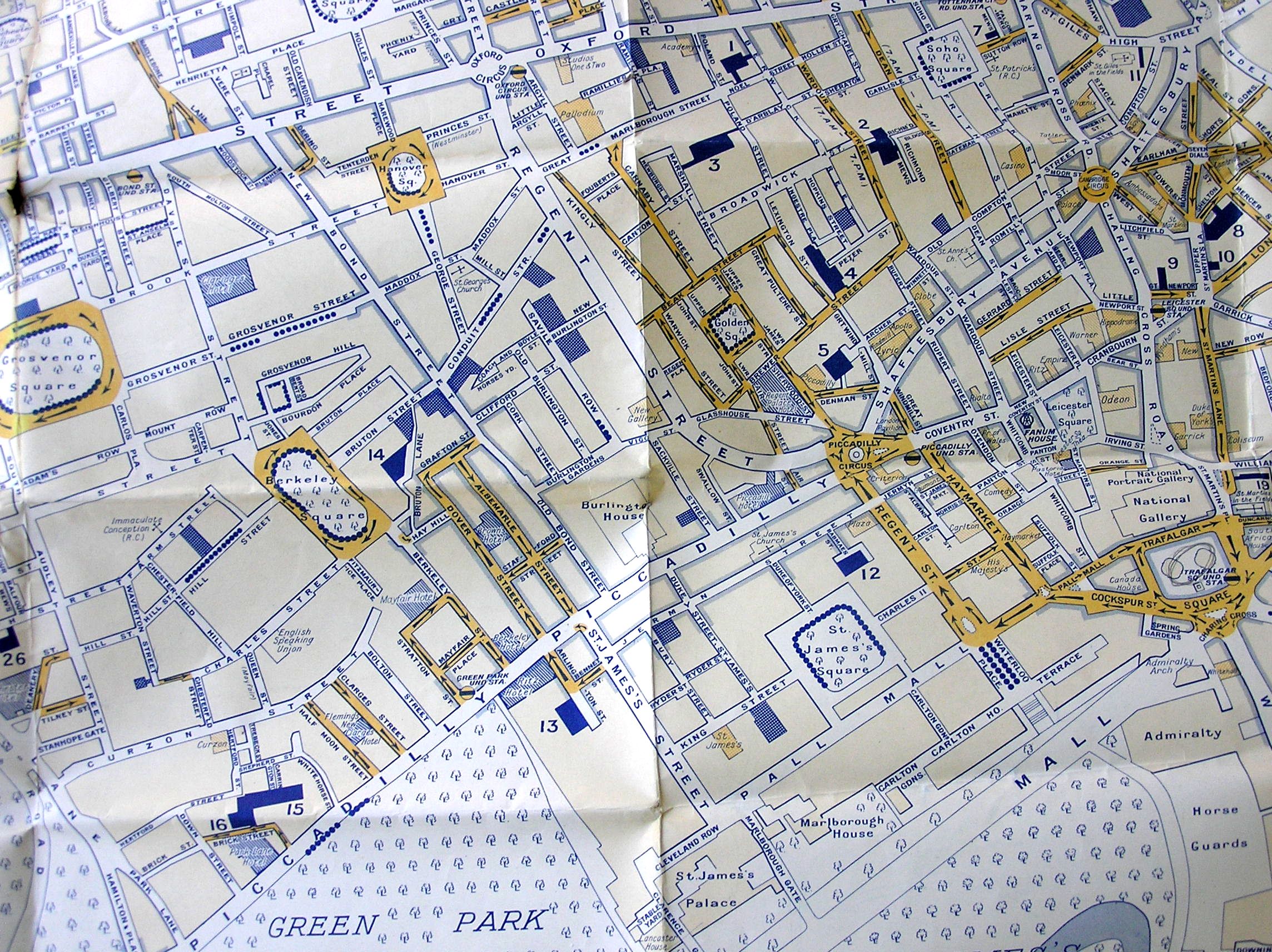
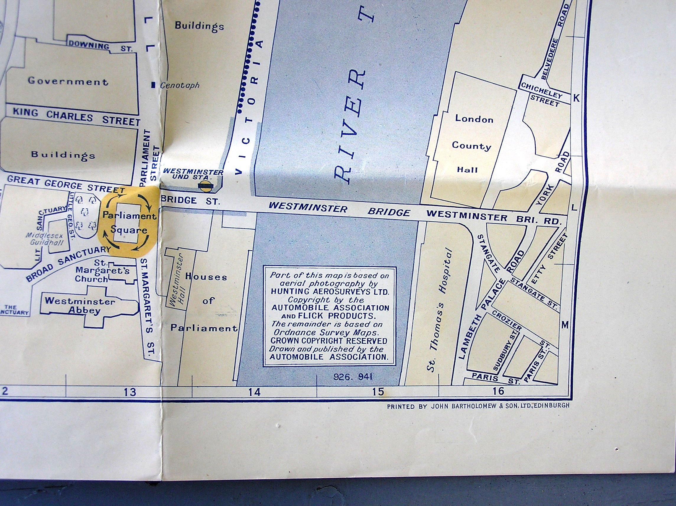
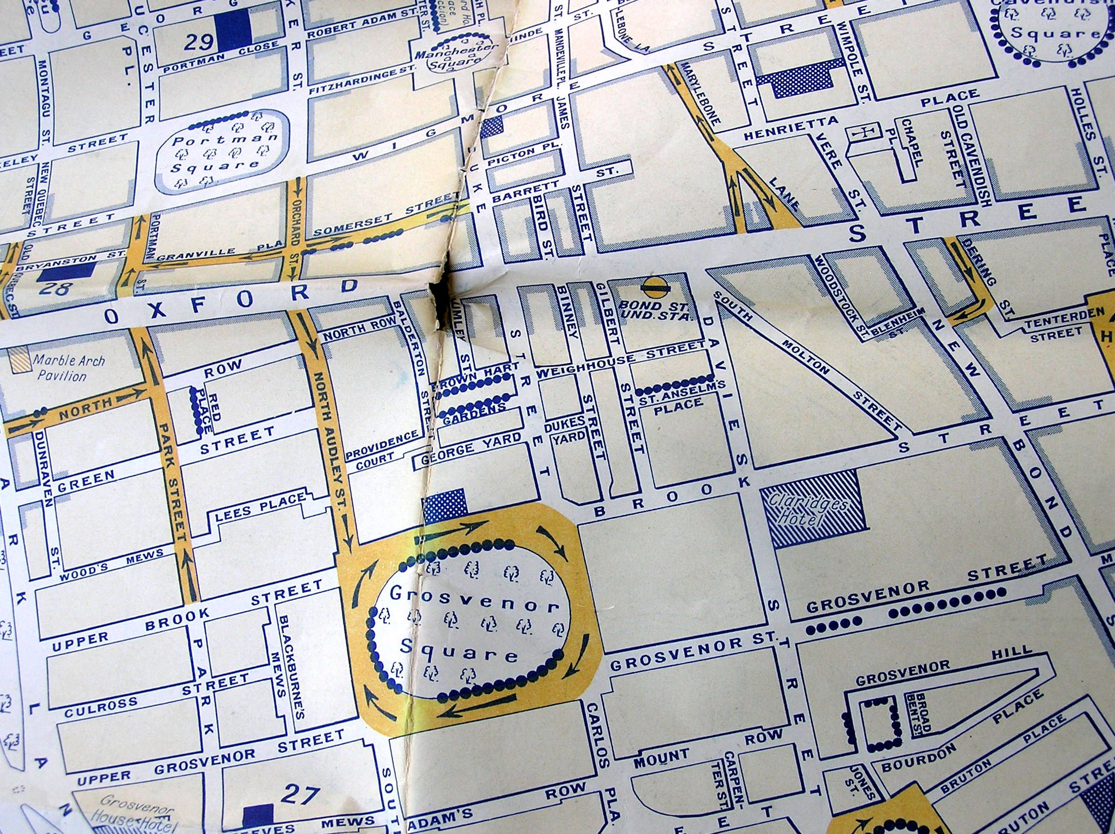
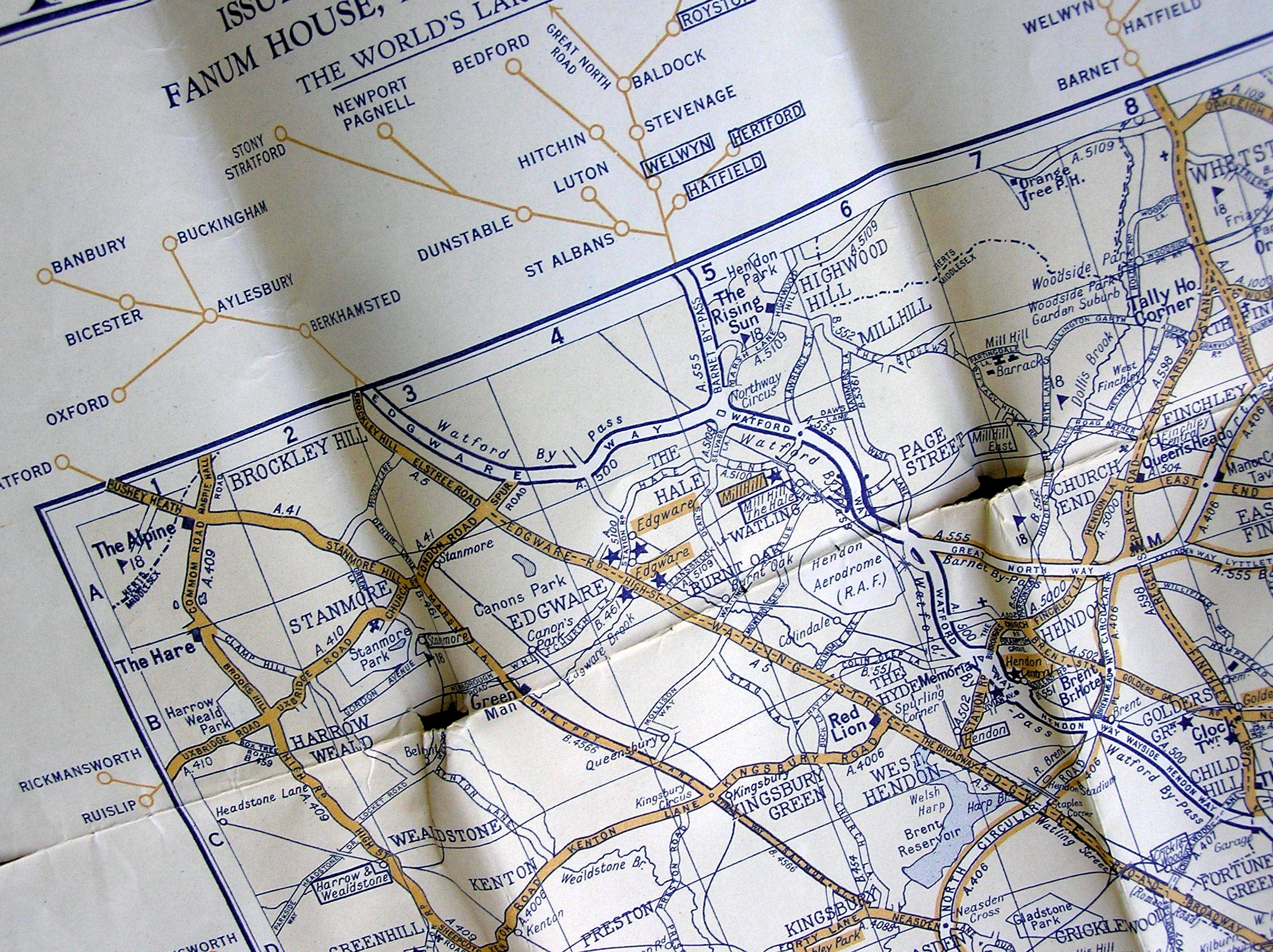
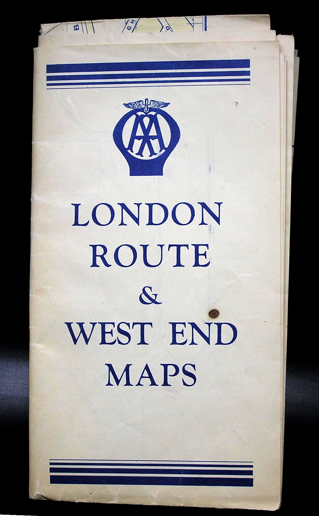
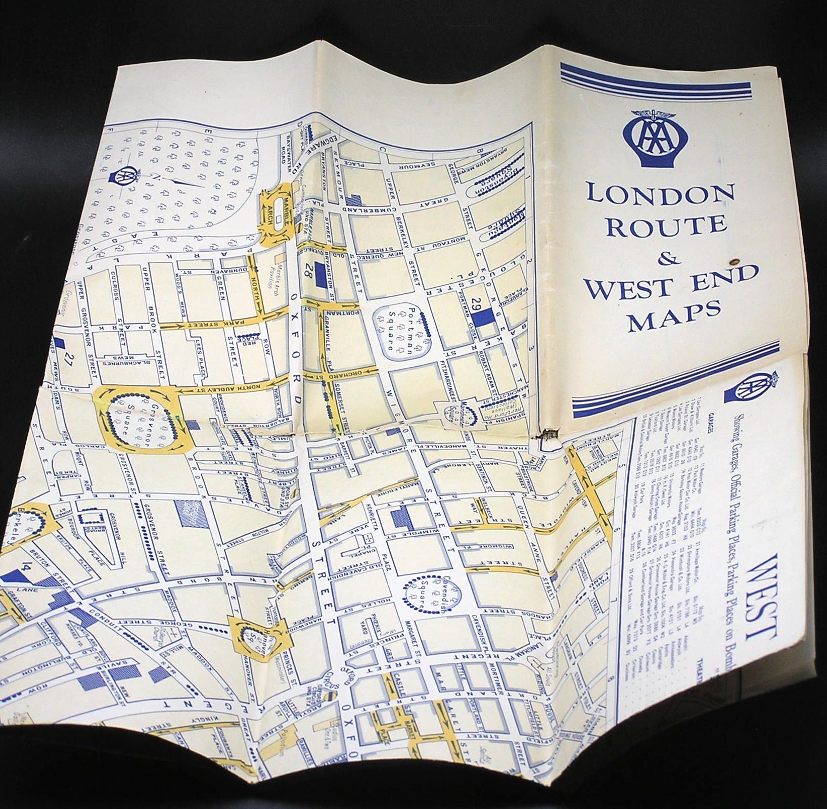
This map was put out by the Automobile Association in the 1940s. The one side is called “London Route Map” and covers an area of about 20 miles square. The other side is headed “West End Map of London” and covers an area about 2 miles square of central London. The Legend shows a cross-hatch pattern for “Parking Places on Bombed Sites” which would seem to date this to the 1940s. Overall size is 24″ x 30″. There are a couple of holes along the folds but it is in pretty good condition considering its age.
If you would like more pictures or information, contact us using the button below this text.
Re shipping. When you check out you will be quoted a price for the shipping based on your address and the estimated physical size and weight of the package.
All items destined to any country outside of Canada (including USA) will have tariffs applied (percentage of the item’s value depending on the country of origin) and brokerage fees (approx $2).
Items destined to the USA require a label or mark stating the country of origin – in many cases vintage items aren’t marked and I may have to physically attach such a label myself.
I use Chit Chats, a Canadian shipping company that shops around for the best rates from both public and private sources worldwide.
All items are packed carefully and securely. I use recycled materials wherever possible. Most shipments are insured.
I will combine shipping on multiple purchases whenever appropriate in order to save you money. I will refund the saving when the items are shipped.
If you live or work in the vicinity of Whitby, Ontario, you can pick up your purchase and save the shipping charges. You could also drop by and view the items we’ve listed in person. See address below.